Gandia · La Safor
Trails
of Gandia
Circular routes through the mountains of La Safor, told with care: maps, elevation profile, photography and the practical information you need to set off without surprises.
— On video
A date with Gandia

— La Safor in one guide
A mountain ten minutes from the sea
La Safor closes the south of Valencia province with a wall of summits brushing eleven hundred metres. Behind the Mondúver opens a mosaic of ravines, old icehouses, rock-art caves and bridle paths. In front, the wetland, the Serpis river and seven kilometres of beach.
This guide collects the routes worth telling. Each page includes the GPX track, a topographic map, the Wikiloc difficulty grade and the terrain's real cautions. Naturalist voice, short sentences, no marketing.
— Featured routes
Start here
Three ways to read La Safor: the limestone heart of the Mondúver, the water of the marshland and the climb from central Gandia to a panoramic peak.
-
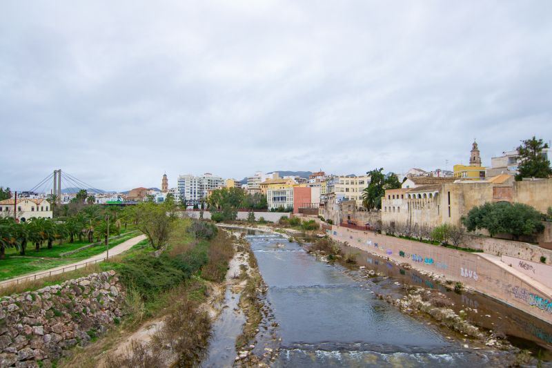
Río Serpis – Port of Gandia
Easy 12.4 km circular route linking the centre of Gandia with the Grau along the Serpis Greenway, between urban heritage, river and sea.
-
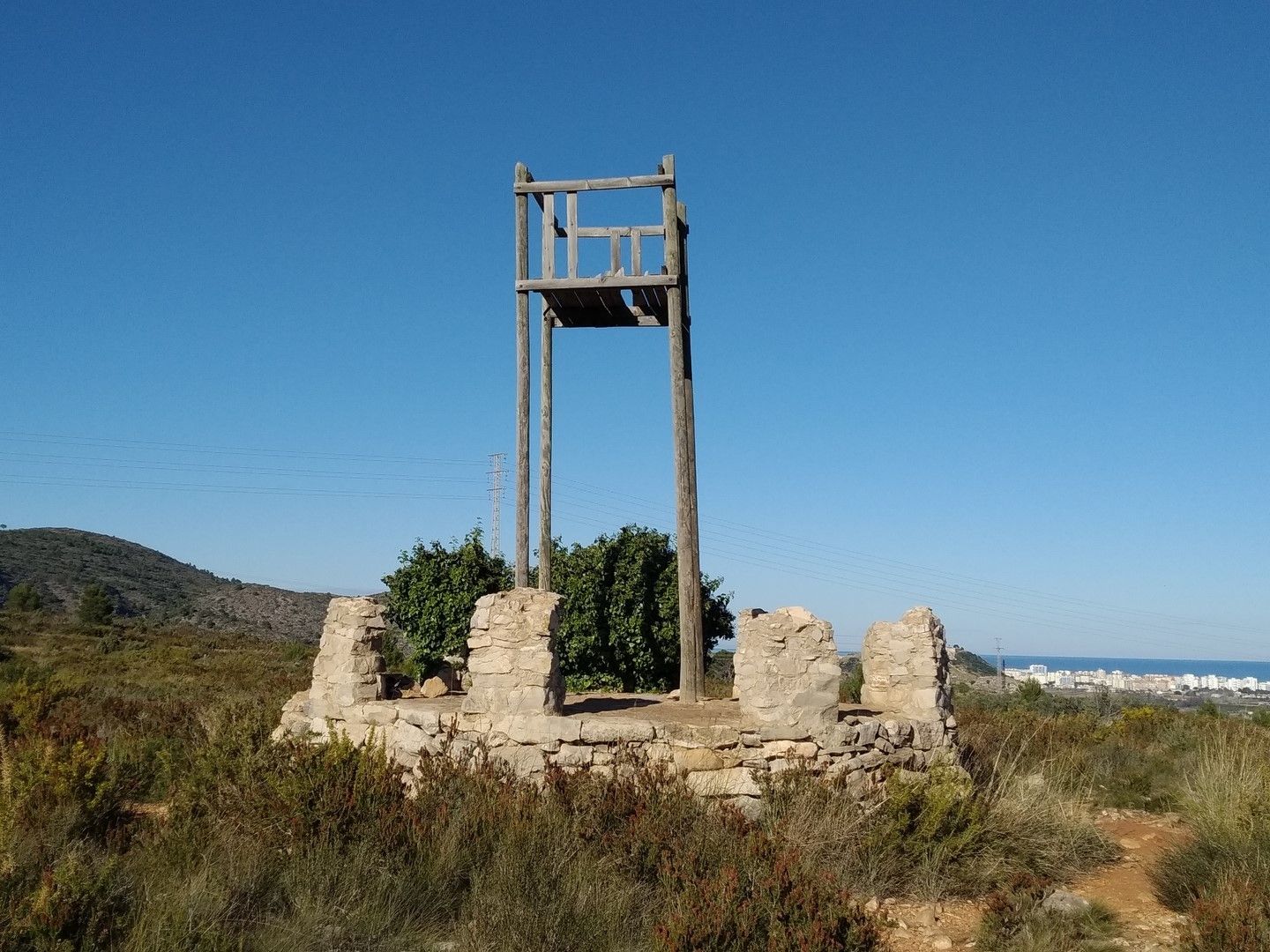
La Banyosa – Hermitage of Santa Anna – Parque de l'Alqueria Nova
A 7.5 km circular route combining urban heritage, a flood-control park, Mediterranean woodland and panoramic views from the Hermitage of Santa Anna.
— Your next walk
Pick a path
Setting off well prepared is half the walk. Check the forecast, download the GPX, lace up properly and tell someone where you're going.